ANR Topo-Extreme
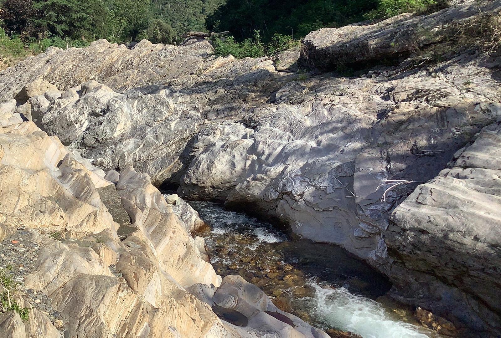
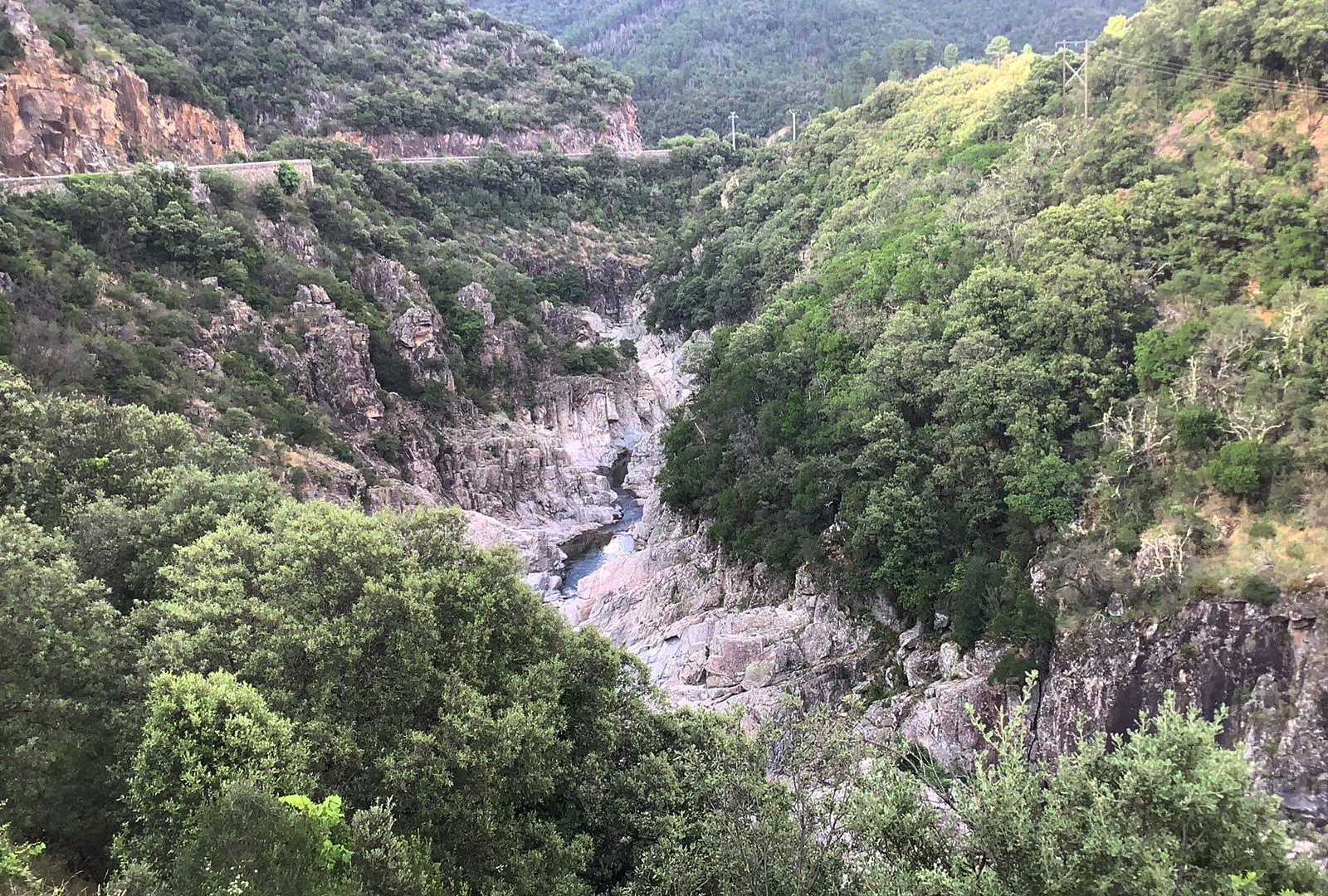
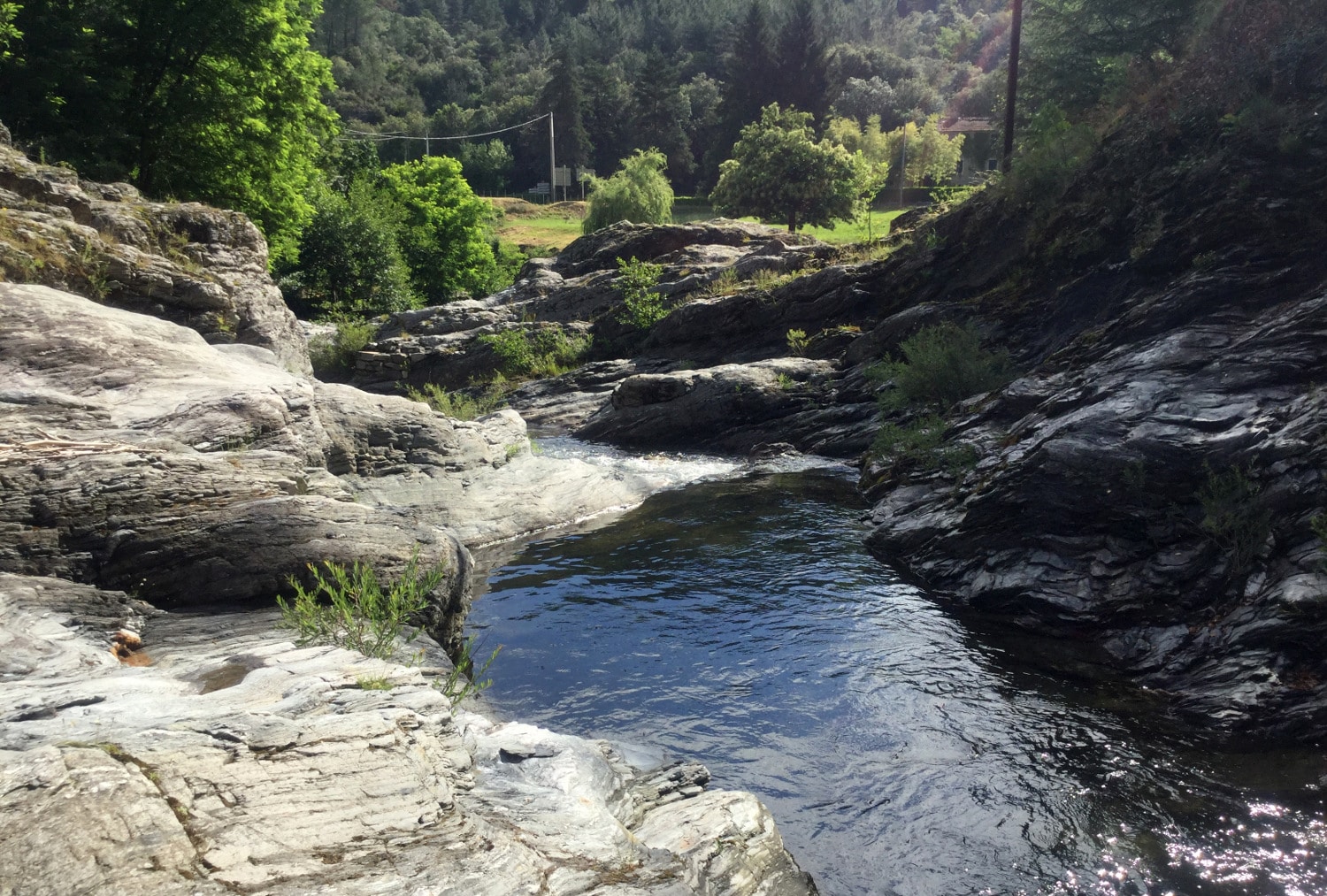
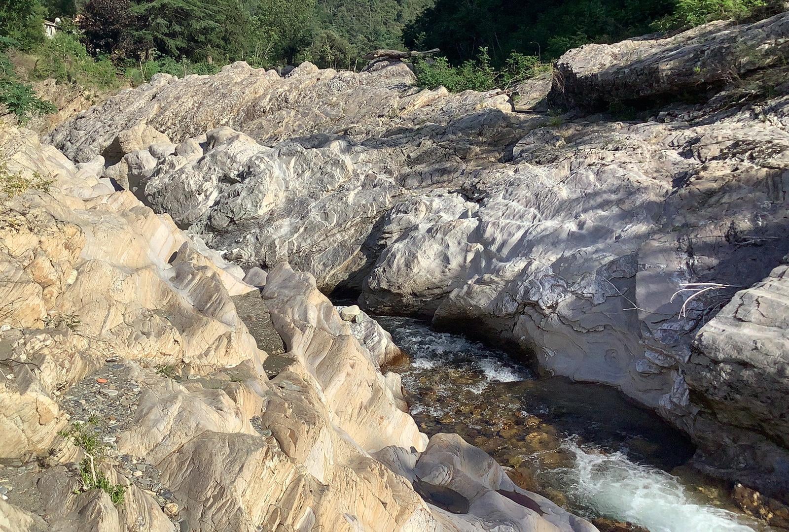
River terraces, alluvial fans and other morphological markers are commonly used to quantify the response of topography to changes in climate or tectonics over large time scales (> 10,000 years).
However, these markers are rarely used to assess the frequency and amplitude of extreme events, as little research has been carried out into their formation and evolution in response to internal or external stresses.
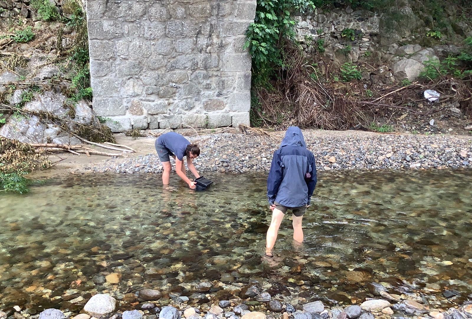
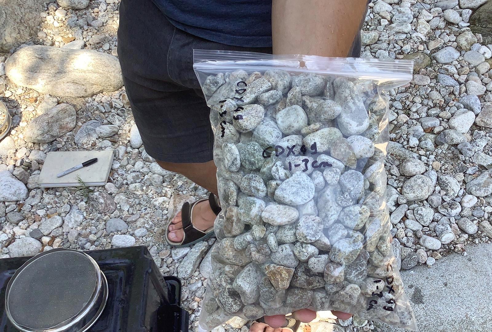
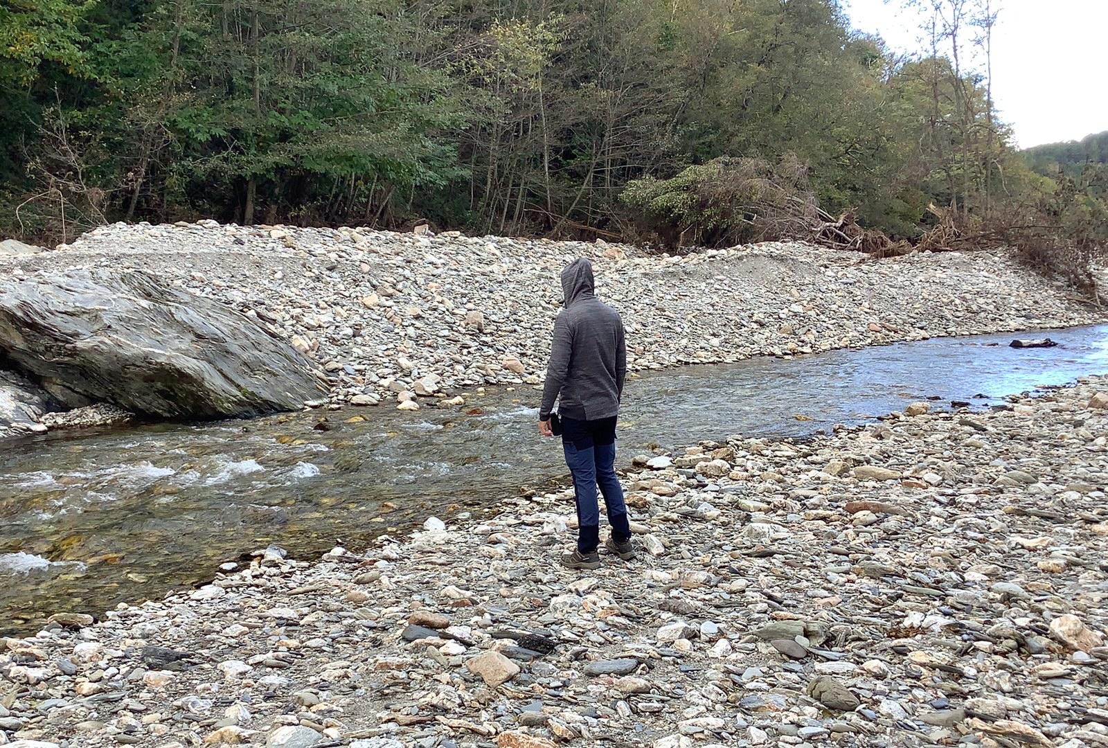
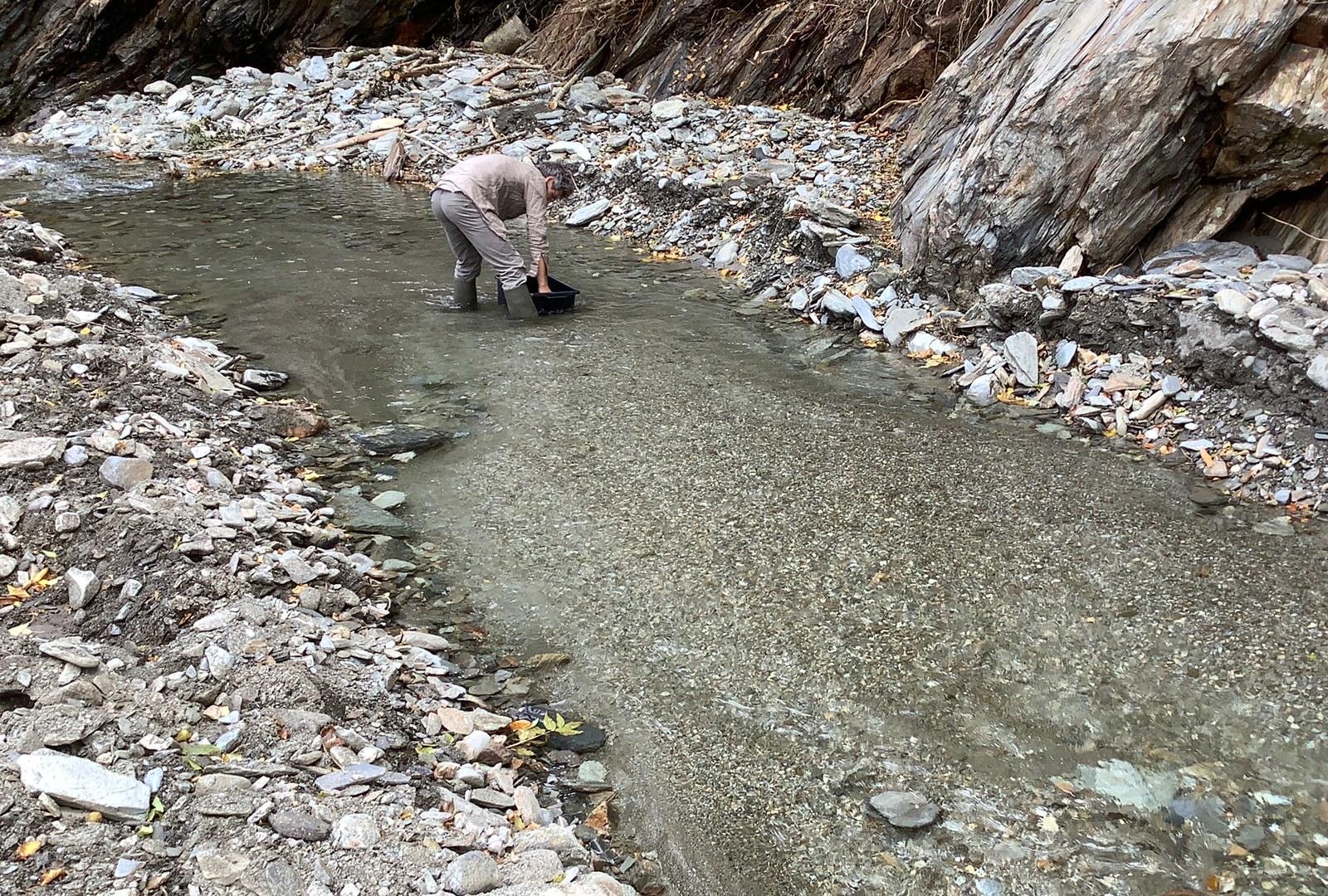
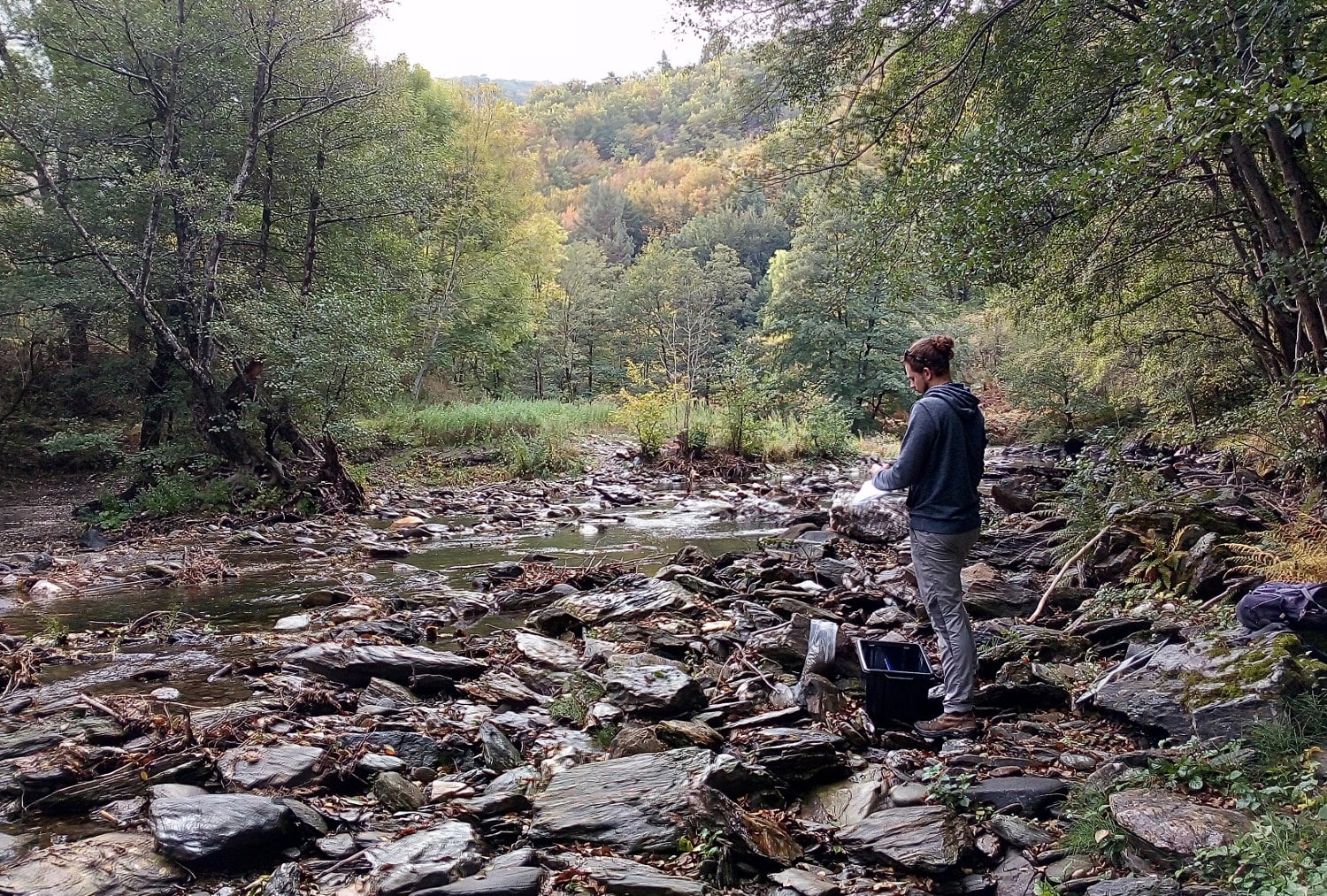
We are developing a new approach based on a multidisciplinary study of the evolution of landforms on a short timescale (0.1 to 10,000 years).
This approach is complex and requires the signature of climatic and tectonic processes to be deciphered on the basis of a detailed study of the characteristics of the current landscape, taking into account their stochastic nature and their feedback couplings.
This means exploring many fundamental questions that have yet to be resolved:
. How do the amplitude and frequency of climatic and tectonic disturbances influence the balance of the topography?
. What is the time scale over which abrupt changes due to extreme events remain visible?
. Is the steady state a purely theoretical concept or does it apply to natural landscapes subject to extreme events?
2018-2024: ANR Topo-Extreme
CEREGE lead :
Vincent Godard
Short time-scale landscape dynamics and topographic signatures of extreme climatic and tectonic events
Partners :
Geosciences Montpellier, Geosciences Rennese