Imaging and Geomatics Tools (GISéo)


Technical platform
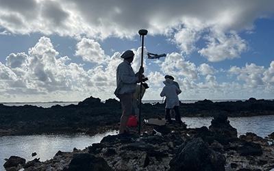
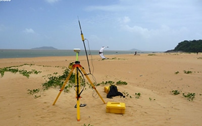
- GNSS differential, topo-bathymetry
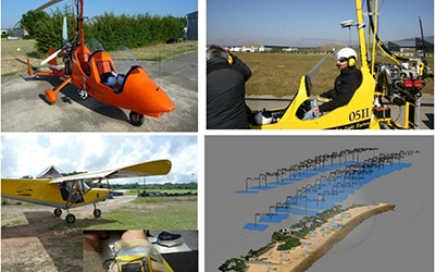
- Imaging by UAVs (SfM photogrammetry, magnetism, LiDAR, optical and infrared imaging) and by ULM. Platform approved by the DGAC and Dirsu-drone of the CNRS with 2 remote pilots and a fleet of 9 multicopter and wing-flying drones
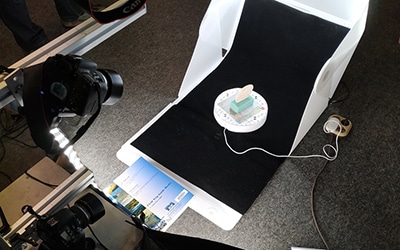
- Photogrammetry platform on laboratory samples and fossils (5cm to 40cm in size), on outcrops and field structures (50cm to 100m)
- Field computers and tablets
- Windows and Linux workstations for computing and graphics
- NAS storage
- GIS software (ArcGIS, QGIS, SAGA), remote sensing (ENVI, Orfeo Toolbox), photogrammetry (Agisoft Metashape, MicMac), 3D (MOVE*CloudCompare, Lastools, TerraSolid, VRGS), photography (CaptureOne, Photoshop, Gimp).
- Virtual reality
- Computer room for training equipped with 20 workstations with specific software (GIS, GNSS processing, 3D,)

Spatial Data Infrastructure
- Design of geographic databases
- Data cataloguing, metadata, FAIR
- Geographic Information Systems (GIS)
- Webmapping
- 3D visualization and analysis

Development of processing chains
- SHELL scripts, Python, dedicated software. Open-source development preferred.
- Data formatting; spatial analysis; photogrammetry; LiDAR; remote sensing
*Academic degrees / MOVE
Since 2020, PE Limited has donated academic licences for the following software to the Université Aix-Marseille (CEREGE laboratory) MOVE : reference 3D geological modelling software.
It is proving extremely useful for teaching and research into complex geological structures and processes.
The donation includes 10 academic licences for the MOVE software and its complementary modules, corresponding to a monetary value of 1 928 384,01 £ (over €2,000,000).

