Imagery and Geomatics (GISéo)
SIGéo is the geomatics platform of the CEREGE Earth & Planets team. It is however transversal, open to all, and collaborates with all CEREGE teams and other laboratories.
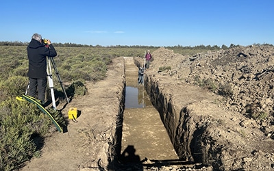
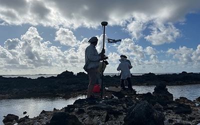
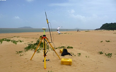
It develops and provides a set of imaging and geomatics resources ranging from acquisition to processing of 2D and 3D spatial data for geosciences. It focuses mainly on high resolution, high precision and microtopography for applications involving morphogenetic surface processes (sea level, tectonics, geomorphology, structural geology, archaeometry, etc.). Multi-source and multi-scalar integration is favoured, from millimetre to metric resolution and from metric to multi-kilometre coverage.
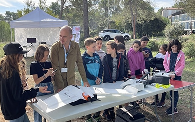
It supports research projects with technical and methodological expertise. It develops spatial data processing chains. It participates in training at various levels (Doctorate; Master; Licence). Finally, it is involved in scientific culture events (school visits, science festivals, exhibitions, documentaries).
It is also involved in studies in conjunction with land managers and civil society on the themes of natural risks (coastal erosion, river and sediment dynamics, seismic risk) and heritage enhancement (archaeology-environment links; sites classified as geological heritage; archaeology and natural history museums).

Teaching
. Course - MASTER GeE
. Courses and Workshops - MASTER STPE
. Visit to the facilities in Licence L3 SVT-Terre
. PhD - Continuing education