Surface processes and active tectonics
Understanding the processes behind the evolution of continental landforms
Determining past landform variations is fundamental to understanding how tectonics and climate interact to shape the surface of our planet. This understanding of the dynamics of continental topography is crucial for estimating natural hazards, particularly seismic hazards, and the evolution of surface processes in response to environmental changes in future decades.
A comprehensive understanding of these complex interactions must be achieved over a wide range of temporal and spatial scales, on a variety of geological objects and in diverse climatic and geodynamic contexts. Tectonics, climate and surface processes interact on time scales ranging from quasi-instantaneous events (earthquakes, storms) to millions of years (construction and destruction of landforms) and on spatial scales ranging from fault segments to mountain ranges.
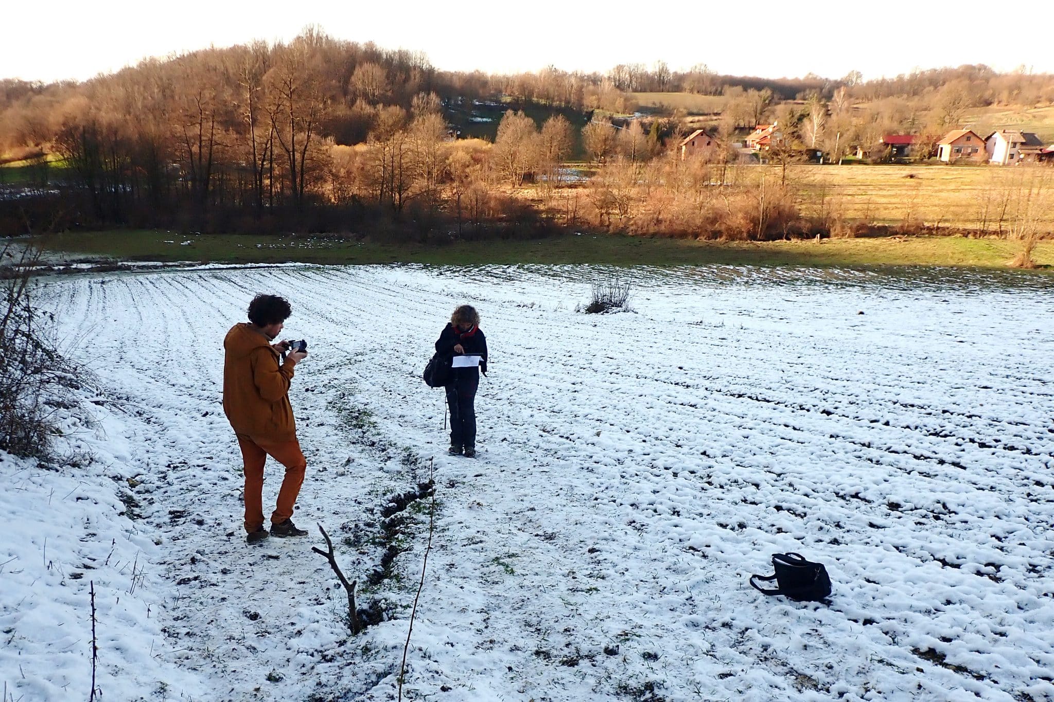
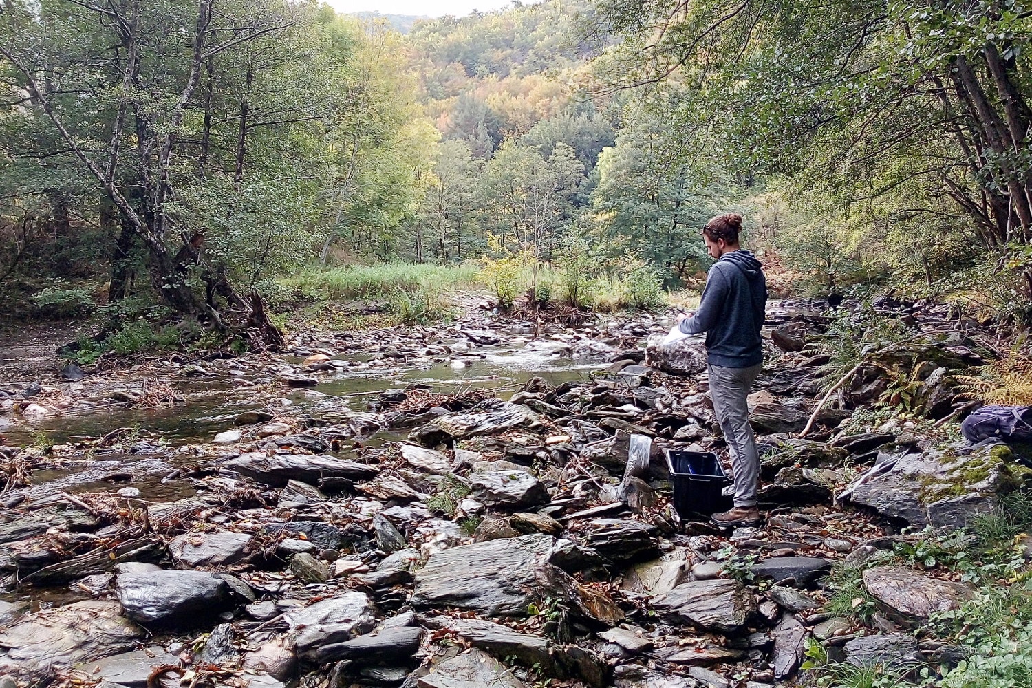
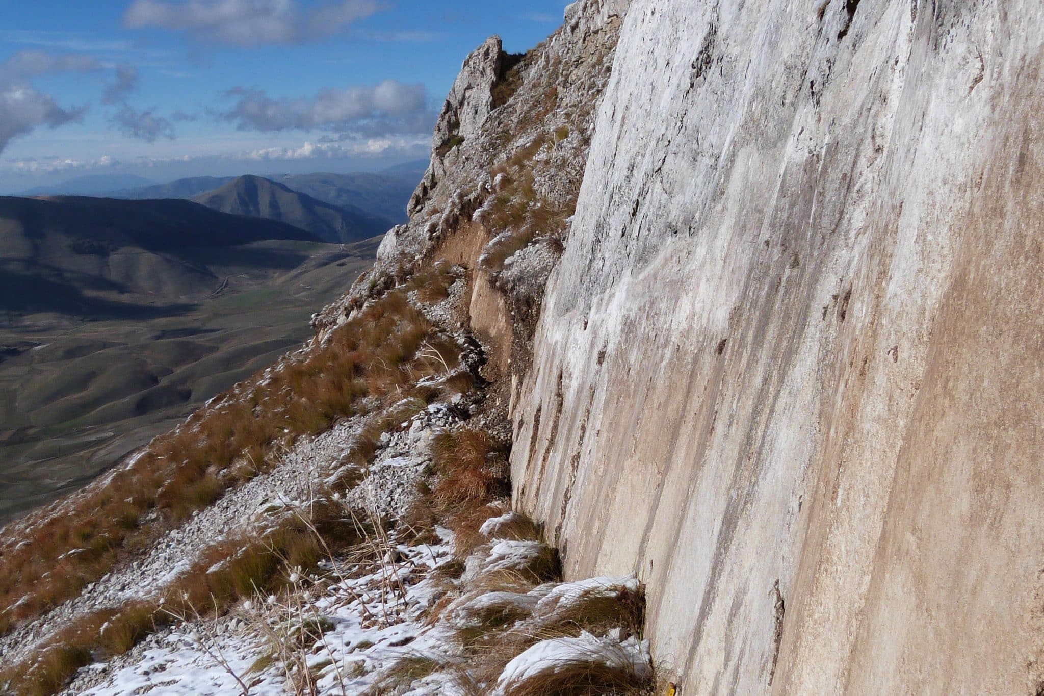
These studies require the quantification of all processes within a well-constrained chronological framework, and our team is internationally recognised for the application of Quaternary geochronology methods such as cosmogenic nuclides or optically stimulated luminescence (OSL). Similarly, we apply geomatics and remote sensing methods to map and geometrically characterise morphological markers of erosion and deformation at the Earth's surface, from the continental scale down to very high fault plane resolution.
We can thus measure the velocities of processes affecting the earth's surface: river incision, slope erosion or fault activity. These data allow us to understand the dynamics of surface processes affecting the relief, in relation to climatic and tectonic forcing, but also to characterise seismic hazards (dating of seismic events, speed of active faults, etc.), gravity hazards (dating of destabilisation phases) or extreme events affecting the coastline (paleo-tsunamis). These data are also fundamental to establish natural levels, linked to tectonic/climate interactions, and to confront them with anthropogenic global changes.

Projects
2022-2026 : TASAB (ANR, Siame)
What can a territory do in the face of the Global Anthropocene crisis? Socio- environmental dynamics in the Brazilian semi-arid2022-2025 : Active-SW (ANR, Siame)
Active tectonics and deformation mechanisms in fold-and-thrust belt: learning from Southwestern Taiwan2021-2025 : PANTERA (ANR, Braucher)
Past denudation rates in the tropical Africa
anrpantera.com2019-2025 : EQTIME (ANR, Benedetti)
Constraining the spatial and temporal variability of slip during the seismic cycle, from the scale of a month to that of a million years
eqtime.cerege.com2021-2024 : QUARTZ (ANR, Rizza,)
Multi-methods characterization of quartz for source-to-sink tracing in alluvial sediment and dosimetry approaches2018-2023 : TOPO-EXTREME (ANR, Godard) Short time scale landscape evolution and topographic signal of extreme climatic and tectonic events
anr.fr2020-2023 : NATO project (THE CHANCELLOR MASTERS AND SCHOLARS, Rizza)
Earthquake Hazard and Environmental Security in Kazakhstan and Kyrgyzstan2021-2022 : SEOLANE (ECCOREV, Bellier)
2021-2022 : ADRASTIC (ECCOREV, Bellier)
2021-2022 : CRATER (ECCOREV, Rochette)
2018-2022 : HIDATSHA (CNES, Rizza)
Preparatory activities and scientific support activities for joint scientific space projects, carried out under the Earth Sciences, Environment Domain